
Texas A&M AgriLife maps out Texas’ working lands
A new set of visual representations by the Texas A&M Natural Resources Institute, NRI, shows the breadth and diversity of the state’s working lands for agricultural production as well as the statewide support provided by Texas A&M AgriLife.
“The Texas A&M AgriLife Support Network is a descriptor of a collective effort that brings advancements to Texas agriculture and all Texans,” said Jim Cathey, Ph.D., associate director of the NRI. “Through maps and supporting text, the network shows the diversity of the state’s environmental conditions and agricultural systems, as well as the statewide support provided by Texas A&M AgriLife.”
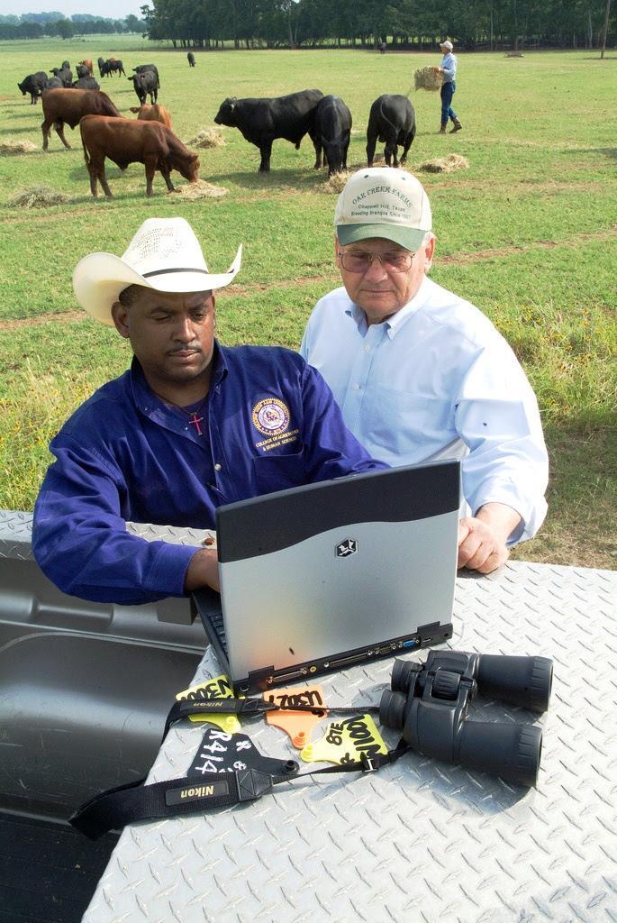
“The 13 Texas A&M AgriLife Research and Extension Centers located throughout the state, combined with our statewide network of county agents and specialists, create an incredibly strong and effective support system for farmers, ranchers and others involved in land management and responsible for our state’s working lands,” said Patrick Stover, Ph.D., vice chancellor of Texas A&M AgriLife, dean of the College of Agriculture and Life Sciences and director of Texas A&M AgriLife Research.
Representing environmental and agricultural diversity
Texas has a range of agricultural production systems and strategies, which vary by regional differences in climate and landscape,” said Alison Lund, NRI program coordinator, San Antonio, who helped create the support network’s visual concept.
 Texas has a variety of working lands . The colors of the map denote where there is cropland, timber, wildlife management and orchards. (Texas A&M Natural Resources Institute graphic)
“The state’s working lands are used for crops, timber, wildlife management, orchards, livestock and more, and each of these agricultural systems benefits from the support provided by Texas A&M AgriLife.”
She said the support network effort was the first time the NRI was able to visually demonstrate the entire mosaic of different industry types in counties throughout the state.
“You can now see the variety of agricultural industries statewide and that some areas have two or three of them, and that these industries complement one another as opposed to competing with one another.”
Lund said it is often easy to be “disconnected” from the land, but the maps showing the support network will help people reconnect with the state’s working lands and how the Texas A&M AgriLife centers statewide help meet the state’s agricultural needs by interacting with Texans at local and regional levels.
The statewide patchwork of working lands
Garrett Powers, geospatial specialist with NRI, said the maps describe the patchwork of working lands spread across the state. Each dot represents an area of 10 acres of a specific agricultural land use and is distinguished by color. The resulting map leaves a visual impression of the varying agricultural landscapes that define our state.
“The data that’s represented by the map corresponds with acreage throughout the state that has an agricultural tax valuation,” he explained. “Each dot represents 10 acres of land valued under that agricultural valuation appraisal.”
He noted the maps also show how those agricultural appraisals change over space based on regional specialties.
 The maps also show more regional aspects of agriculture-related production in Texas. This map shows how the agricultural production of timber is prominent in East Texas. (Texas A&M Natural Resources Institute graphic)
“For example, timber is more prominent in East Texas, and crop production is more prevalent in the northern, central, southeastern and far southern parts of Texas,” he said. “Then you’ll find wildlife management to be more prominent in pockets around the Texas/Mexico border. These examples show how working lands are generating money and how the agricultural industry focus changes over the space of Texas.”
Texas A&M AgriLife center statewide support
“At the Texas A&M Natural Resources Institute, also part of Texas A&M AgriLife, we help tell the story of our state’s privately owned farms, ranches and forests, otherwise known as working lands, which provide numerous ecological, economic and intrinsic benefits to our communities and beyond,” Cathey said.
 The Texas A&M AgriLife Research and Extension Center in Dallas underwent an extensive redesign in order to better serve its purpose of promoting urban agriculture and forestry, preserving water and land resources, and enhancing healthy human living. (Texas A&M AgriLife Research photo)
He said the Texas A&M AgriLife centers have become part of the fabric of their communities by helping solve agricultural problems through experimentation and testing, then sharing that knowledge by means of educational outreach.
“Each center tailors its studies and outreach programs to provide relevant, science-based and objective tools and solutions for their local landowners,” Cathey said.
The Texas A&M AgriLife support network provides a virtual tour of the agricultural areas of the state, covering each region’s primary agricultural production strategy based on its unique landscapes and its corresponding Texas A&M AgriLife center. It highlights specific regions of the state as well as the specialty work done at each center.
The centers and their areas of agricultural emphasis are:
- Corpus Christi — Researchers at the Corpus Christi center focus on innovations for sustainability of agricultural and livestock industries, including studies of crop drought tolerance, aphid management and reproduction efficiency in livestock.
- Weslaco — Located in far south Texas, research at the Weslaco center focuses on issues facing borderland counties, including land and water use, urban development, population growth and foreign competition.
- Uvalde — The Uvalde center serves the Texas Winter Garden and southwestern region of Texas. Distinguished by rechargeable water resources, prolific wildlife and extensive irrigated crops, the main research areas include cropping and irrigation strategies, water use efficiencies, wildlife habitat and natural resource management.
- El Paso — Situated at a critical point along the states western border, the El Paso center primarily focuses on providing sufficient, reliable, safe and cost-effective water resources for far West Texas. Water reclamation and contaminant detection are key areas of research at this center.
- San Angelo: This center serves the West and Central regions of Texas by researching methods to improve sheep and goat production as well as fire ecology and rangeland restoration. The San Angelo center also works to ensure sustainability in livestock operations and compatibility with wildlife and recreation businesses.
- Amarillo — The Amarillo center addresses issues relevant to the Texas Panhandle as well as neighboring states. Its primary focus is on cattle feeding operations and wheat production. The center also researches methods to extend the supply of water provided by the Ogallala Aquifer for crop irrigation.
- Lubbock — The Lubbock center is situated in a region of heavy agriculture in the semi-arid northwest region of Texas. Staple crops like cotton, corn and sorghum are researched to improve production and pest resistance. The efforts of the Lubbock center, along with other state and federal organizations, has reduced the use of insecticides in cotton production by 70%.
- Vernon — Located near the Oklahoma border, the Vernon center develops management practices for the major livestock and crop production industry within the region. The center also works to improve watershed management and quality in the semi-arid environment typical of North Texas landscapes.
- Stephenville — The Stephenville center takes on challenges related to the growing influence of urban development in traditionally rural environments. The work performed at this center focuses on a variety of food production and natural resource management topics such as fertility improvement in dairy cows and watershed contamination sampling.
- Dallas — Uniquely located in one of the state’s largest metroplexes, initiatives of the Dallas center work to advance three areas: urban agriculture and forestry, water and land resources, and healthy human living.
- Temple — The Blackland center assesses land-use changes using computer simulation models. Through these models, best management practices are developed to improve productivity, profitability and management of water supplies, especially during extreme weather conditions. Other studies at the center include streamflow and sediment monitoring in relation to drinking water utilized in Central Texas.
- Overton — The Overton center addresses issues in the fields of soil science, plant physiology, plant and animal breeding and genetics, animal physiology and production-system science in addition to forestry and rural recreation. Research from the center has led to advancements in beef production and horticulture.
- Beaumont — Located in the Upper Gulf Coast region, the Beaumont center is internationally known for being a leader in all aspects of rice production and management. This center developed AgriLife Research’s first rice cultivars, which have a 5% yield advantage compared to currently grown varieties, which is estimated to have a potential statewide production revenue increase of $1.22 million annually.